A climate-resilient Timor-Leste
Logo Antea Group - No text - Angled - Transparent

Protection of a vulnerable coastal region

Questions? Let's get in touch.

Ask a question

A climate-resilient Timor-Leste

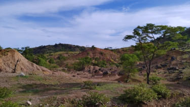
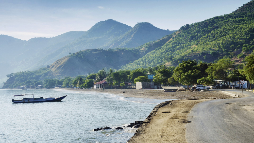
East Timor, also known as Timor-Leste, is only half the size of Belgium. The increased risk of cyclones, earthquakes and heavy rainfall make its socio-economic and ecological systems incredibly vulnerable. Limited and inadequate infrastructure and social services make this problem even more urgent. This creates major challenges for the relatively young country to overcome. In doing so, Timor-Leste has been receiving support from the United Nations Development Programme (UNDP) since 2019 through a 6-year project funded by the Green Climate Fund (GCF). As part of this project, Antea Group is providing support by preparing a model that maps climate hazards and risks in Timor-Leste. This is how we contribute to the resilience of this coastal region.
The assignment

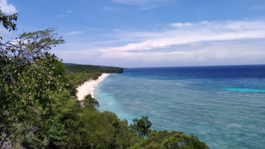
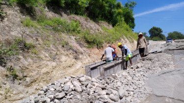
The United Nations Development Programme (UNDP) has been helping countries achieve sustainable socio-economic and societal development for almost 60 years. Timor-Leste is one of the countries where they are addressing the root causes of the vulnerability of rural social and physical infrastructure. This is done under the Green Climate Fund project "Protecting rural communities and their physical assets from climate-induced disasters in Timor-Leste". They are also looking into the limited capacity to generate and use climate risk information.

The latter is what Antea Group is supporting the project with. We help assess and manage climate risks by improving the monitoring of climate risk information.

A climate-resilient Timor-Leste

The solution

Our team ensures continuous development and improvement of its climate risk tools using advanced modelling techniques, artificial intelligence and high performance computing. We mapped 10 different climate and geo-risks for Timor-Leste and assessed the vulnerability of communities, infrastructure and ecosystems.

We significantly improved the accuracy of the climate risk information products by downscaling regional climate models and combining national data sources with remote sensing data and field surveys. We did this using a newly developed LoVRA (Local Vulnerability & Risk Assessment) methodology, which we use to estimate the vulnerability of people and communities. Using interviews and roundtable discussions, we were able to link that vulnerability to hazard maps for the various natural hazards. This mapped risks, which we made available on a dashboard with enhanced features to support adaptation planning. This way, we always kept self-reliance in mind.

The results

  • 10 identified climate hazards
  • 14.874 km² mapped
  • 1,3 million protected citizens
  • 90 (more) self-reliant communities
A climate-resilient Timor-Leste

The NAPA identified risk reduction as key areas and so it is great to see the project take flight.


Munkhtuya Altangerel
UNDP Resident Representative

Partners and collaborators

Of course, we're not in this alone. We have the honour of leading a joint venture between our Brazilian partner EBD Global Optimum and the Indonesian Yayasan Humanis dan Inovasi Sosial, affiliated to Hivos. We also worked closely with UNDP field staff in Timor-Leste and locally designated entities for the Green Climate Fund, the State Secretary for Environment and the State Secretary for Civil Protection. Finally, several other stakeholders such as the Department of Meteorology (NDMG), the Institute of Petroleum and Geology (IPG), and the Ministry of Public Works (MoPW) participate in technical meetings, training or knowledge sharing.

SDG's

With this project, we support the United Nations' Sustainable Development Goals:

SDG 11 - Duurzame steden en gemeenschappenSDG 13 - KlimaatactieSDG 17 - Partnerschappen

Want to know more about this project?

I am happy to help!

A climate-resilient Timor-Leste
Ask a question