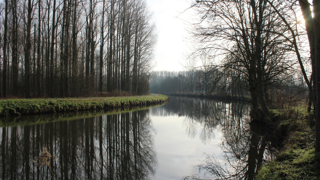
The Dender Valley naturally struggles with major fluctuations in water levels, caused by the elevation difference between the hills and the river. During heavy rainfall, water quickly flows from the hills into the river, often leading to high water levels and even flooding. Climate change, fragmented nature, and intensive urbanization exacerbate these challenges. Through T.OP Dender, efforts are focused on creating a coherent green-blue network that accommodates nature and water management, and responds resiliently to changing climatic conditions.
The assignment
Several visions and individual action programs already existed for the Dender Valley to maintain livability in the area. However, a clear and cohesive approach for the entire Dender basin was lacking. Additionally, the Dender slopes stretch across multiple administrative boundaries and involve collaborations at various levels, which made the implementation of concrete actions quite complex in the past.
Therefore, Antea Group was commissioned, under “Project 2 – Green-Blue Dender Slopes”, to realize a coherent and climate-adaptive green-blue network on the slopes of the Dender. The goal? A sustainable and climate-adaptive landscape that meets the needs of both nature and living environments.
The solution
Our approach consisted of three phases: the development of a spatial vision, the preparation of an action program, and the final implementation phase. We began with a thorough system analysis to map the area’s opportunities and bottlenecks. This was done using system maps that categorize the landscape into different nature types. Based on this, we created a spatial vision that identifies where the greatest potential lies for nature and water restoration. This vision spans administrative boundaries and brings together various actors in a well-founded, thoughtful plan.
Next, we identified five specific subareas, each with a tailored approach. The spatial vision was translated into a concrete action program. This program emphasizes ecological goals while also considering policy context and local collaborations. By coordinating regularly with stakeholders and local actors, we ensured the plan was realistic and feasible.
Meanwhile, the vision is being further implemented through the design of rainwater squares and climate-resilient stream valley layouts. In this way, the green-blue network is gradually becoming a tangible reality in the landscape.
Partners and collaborations
We worked closely with local governments, water managers, nature organizations, and the Flemish Region to ensure broad support for the vision.
SDG's
With this project, we support the United Nations Sustainable Development Goals: